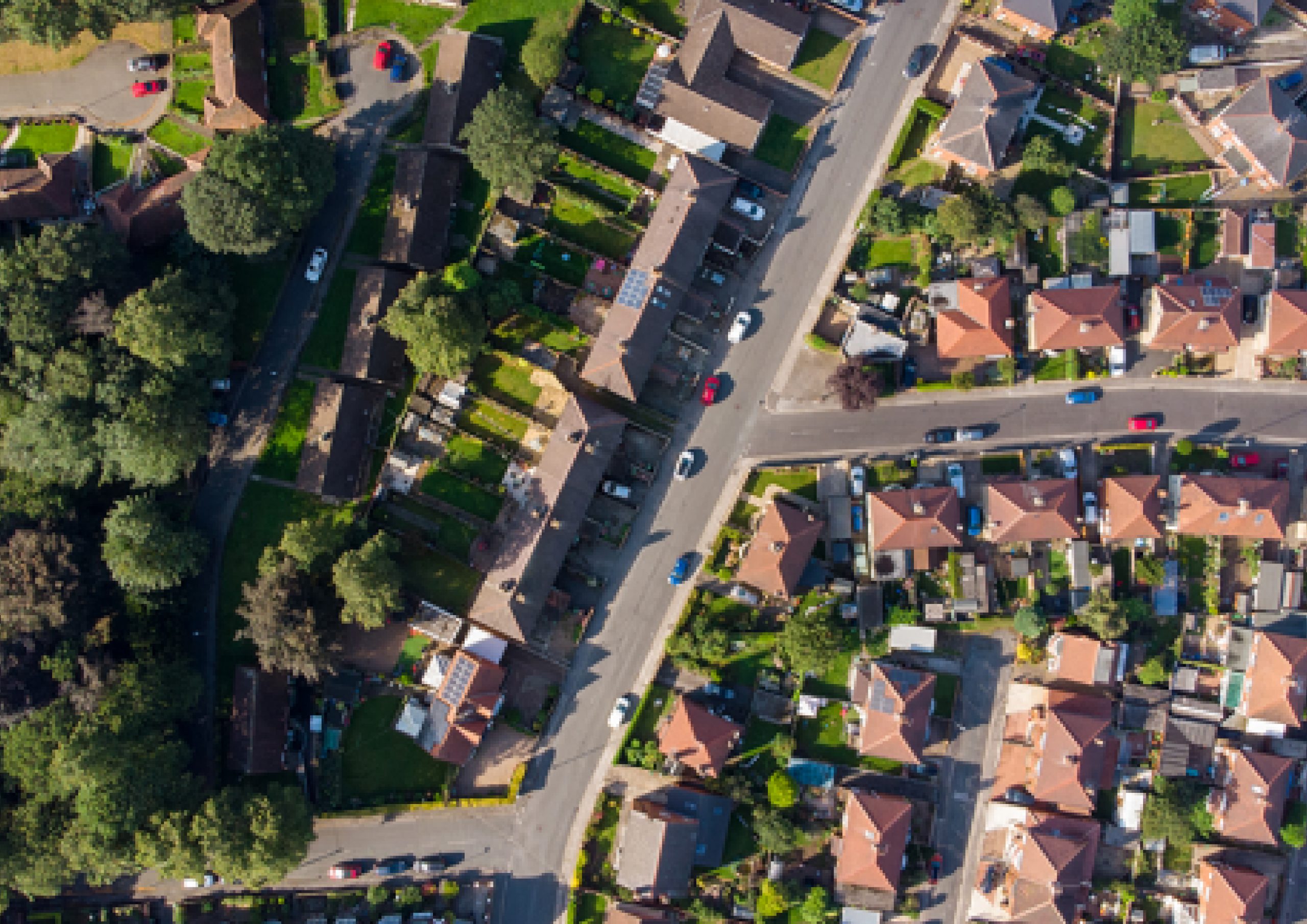
Geo-spatial analytics coupled with our proprietary satellite and aerial image processing algorithms is leading the way in the world of image intelligence.
Geo-spatial Analytics

ciTryambak2.0
- Geospatial Analytics Platform
This platform utilizes aerial and satellite images and transforms them into insightful and actionable data using using AI for securing our environment.
- Simplify: Adaptive interface with user-based interaction capability
- Intelligence to the Core: Object and Pattern decomposition to enable utilization of IMINT effectively
- Data in Hand: Suite of reports and predictive analytics for custom alerts and focused intervention
- AlgoMagic: Unparalleled detection of objects and classification with our proprietary model
- Train the Trainer: Training and reinforced self-learning makes it even better


